“El Agua es Vida.” Water is life. During our time in Oaxaca and Chiapas, we saw this phrase repeatedly scrawled across buildings, homes, barns, lampposts, sheds, and more. A way of seeing the world as much as a slogan. Contrary to the common image of Mexico as a desert (which is, by land area, still generally true), these two states did not lack for substance, especially as we got farther south. In our time there, nearly every afternoon was cloudy, and several nights rainy. And we got to observe some truly spectacular water features, from Cañon del Sumidero to waterfalls, natural pools, and lakes that I’ll highlight later in this piece. Despite the abundance of this natural resource, the region and its people are also subject to larger outside forces that threaten this way of life, from multinational corporations exploiting the water, problems with runoff containing too much fertilizer, waste, and/or garbage, and floods damaging vulnerable infrastructure in difficult-to-reach mountainous places.
In San Cristobal, our tour guide and others in the community spoke of a two-front war in their advocacy for the rights of the indigenous and the poor. On one side, they felt as though the government has largely ignored these groups for far too long and done little to help the people of Chiapas, which has historically been among the poorest in all of Mexico. With credit given to both the publicity of the Zapatista Uprising as well as the money flowing in from tourism, this has begun to change slightly since the turn of the century. Of course, money coming into the state does not necessarily mean the most needy receive it. The other big villain, naturally, comes from the multinational corporations: in the case of San Cristobal de las Casas, this is not an abstract accusation. Shortly after NAFTA was signed into agreement in 1994 - not coincidentally, this was a major cause of the Zapatista Uprising in the first place - Coca-Cola opened a massive bottling plant in the hills above the town. To operate, it requires on the order of 1 million liters of water per day; approximately 35 liters of water are needed to produce just one half-liter bottle of Coke according to a report by the company and The Nature Conservancy. Between this massive water sink and infrastructure that was already poorly maintained before the massive tourism boom that has now overwhelmed it, residents in San Cristobal, and Chiapas writ large, struggle to obtain healthy drinking water on a regular basis. Naturally, then, they turn to bottled sources in the form of either purified water or, in a cruel twist of irony, Coca-Cola. In fact, chiapanecos consume nearly two gallons of the stuff per day - which is six times more than residents of the United States - and suffer from the expected health consequences as a result. Without originally intending to, many may even now profess that “el Coca-Cola es vida,” as it has gained enough significance to even be used in some religious ceremonies. The cycle, once established and maintained by those in power, is difficult to break. (We heard many of these facts and stories while in the area, but I used this well-reported piece from Al Jazeera for fact-checking and it is worth a read for those interested in learning more.)
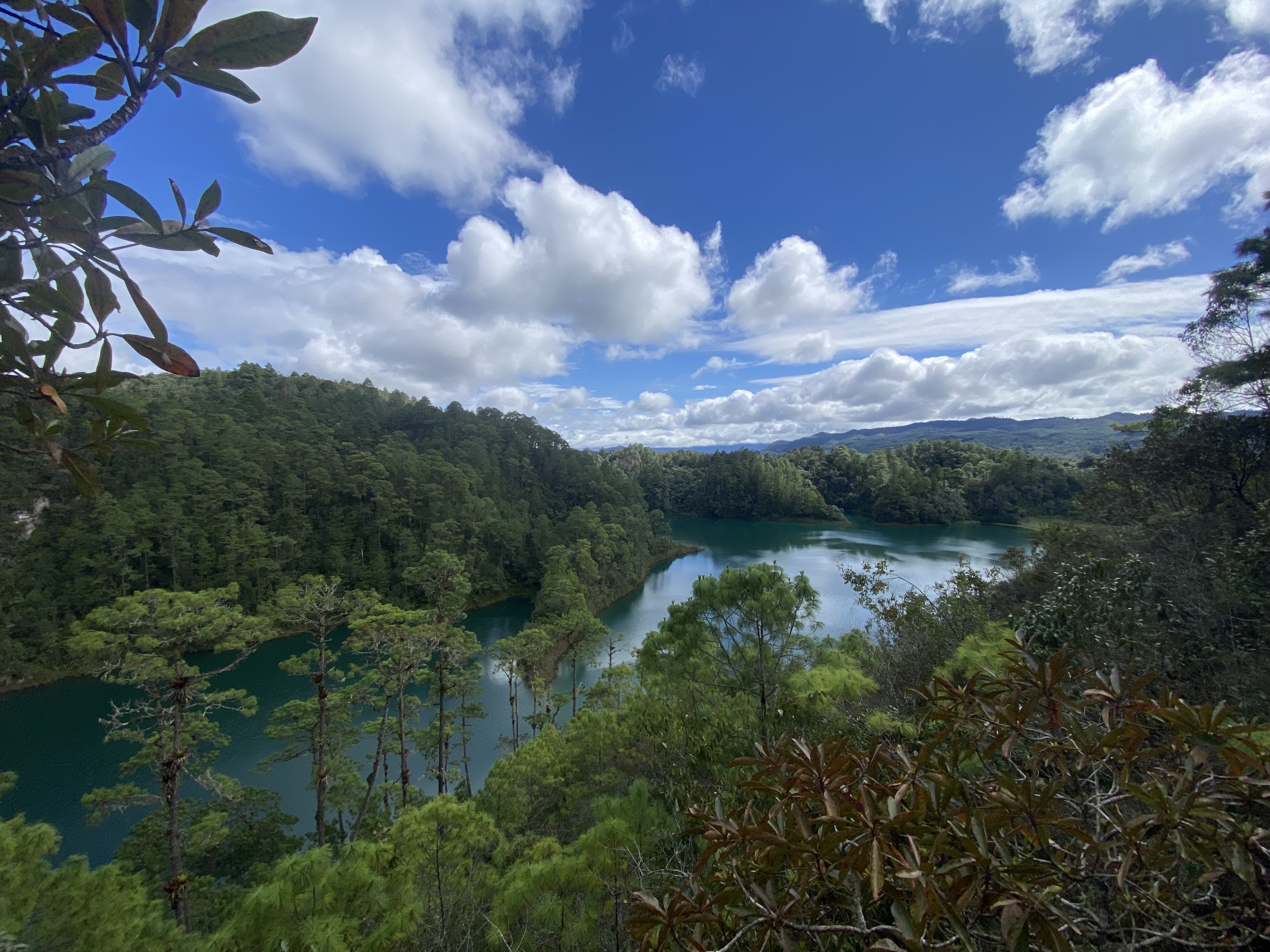
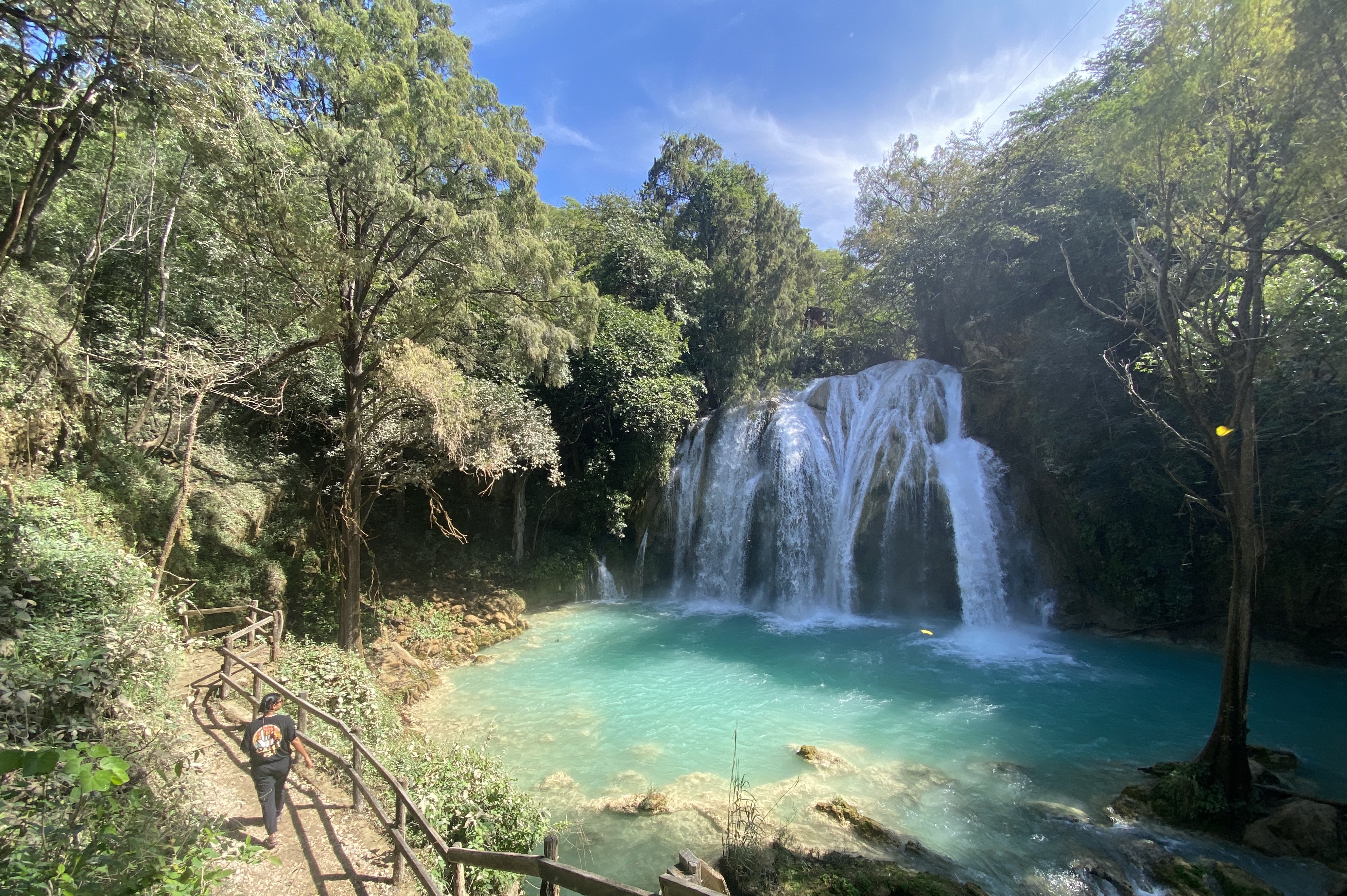
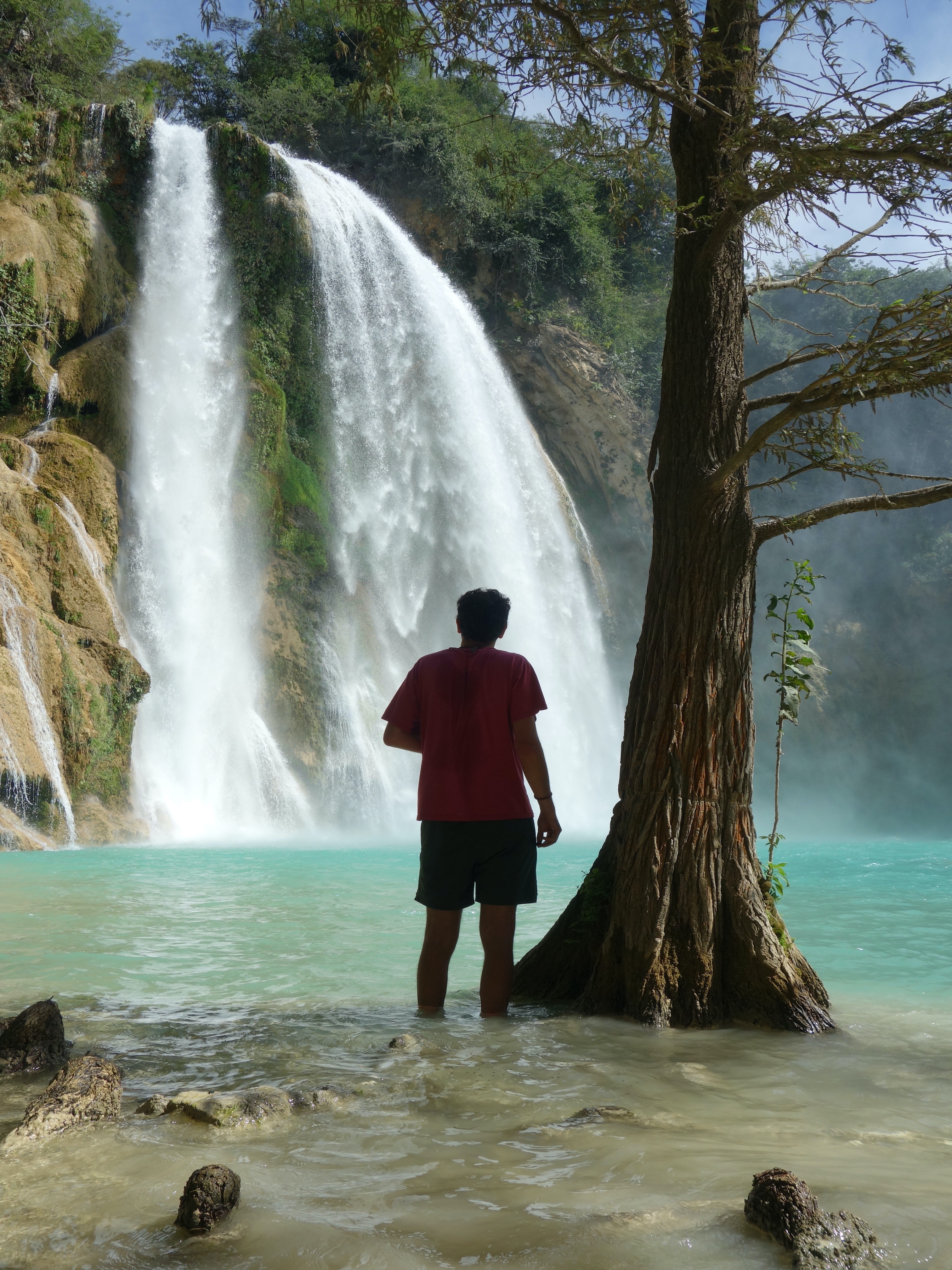
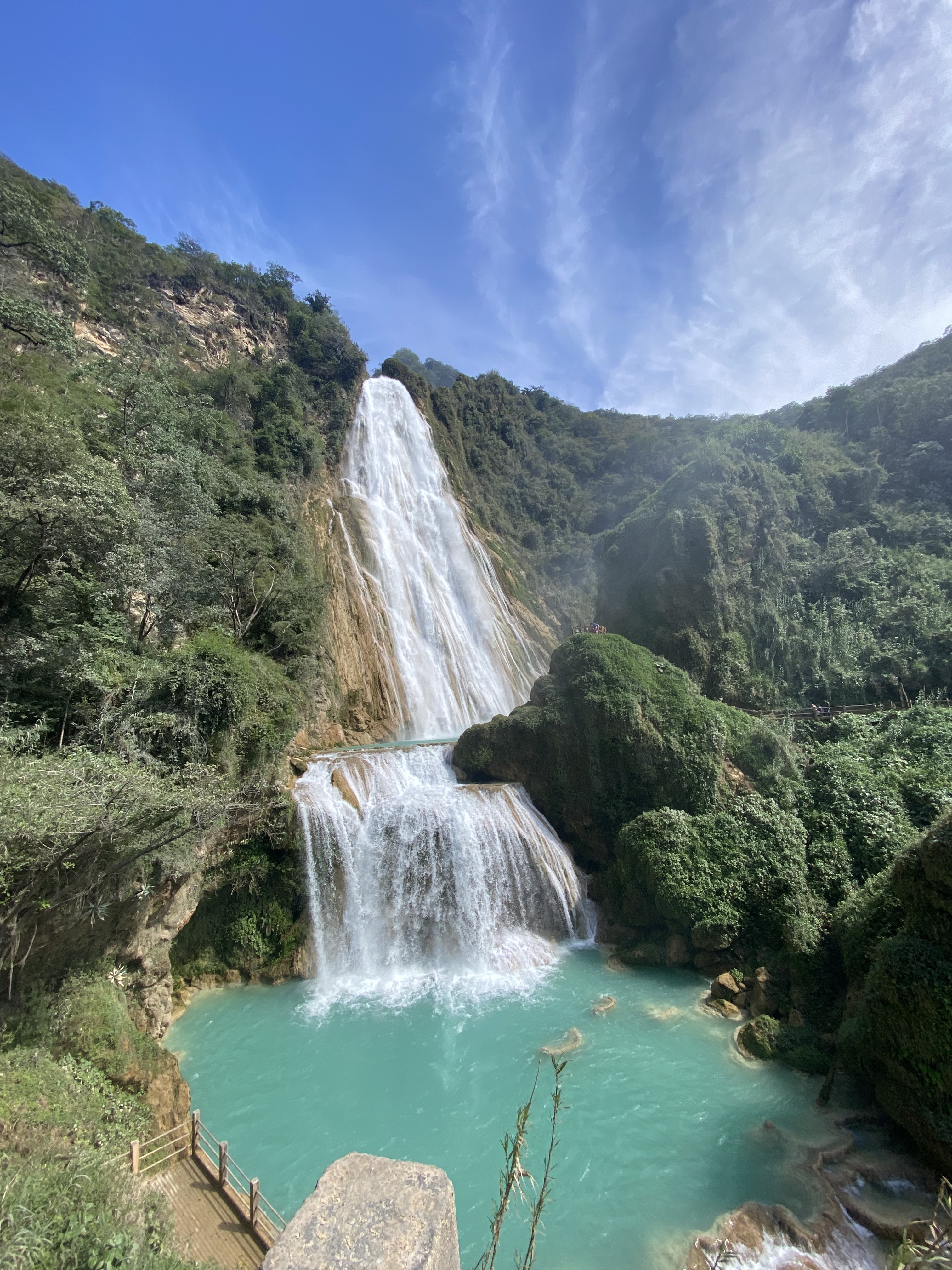
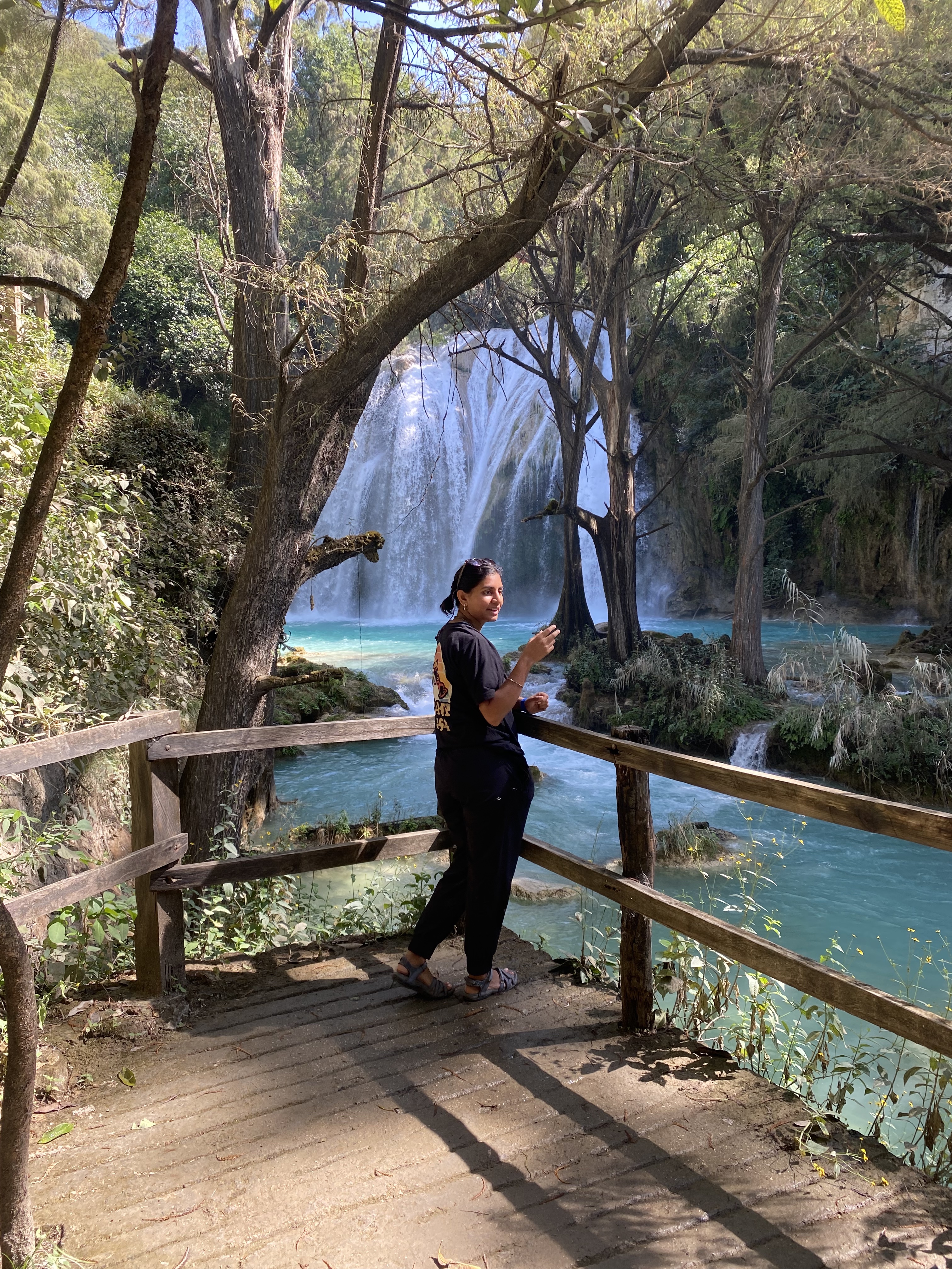
As one might expect in a part of the world with both plentiful rainfall and mountainous terrain, the state of Chiapas has no shortage of incredible water features. After we left San Cristobal de las Casas, we spent a week enjoying these while preparing for our next logistical hurdle of crossing into Guatemala. Our first stop was at Las Cascadas de Chiflon, a truly spectacular series of turquoise waterfalls that culminates in El Velo de Novia (The Bridal Veil), a 390-foot drop that was worth the price of admission alone. Of course, being Vrinda and Clark, we climbed a steep and only slightly maintained trail around the falls to find ourselves at the pool above this drop, enjoying dipping our toes in the water and the smaller but no less impressive upper falls area. We spent some time watching the Anhinga bird, whose tail feathers acted as a perfect rudder in the strong current below the falls.
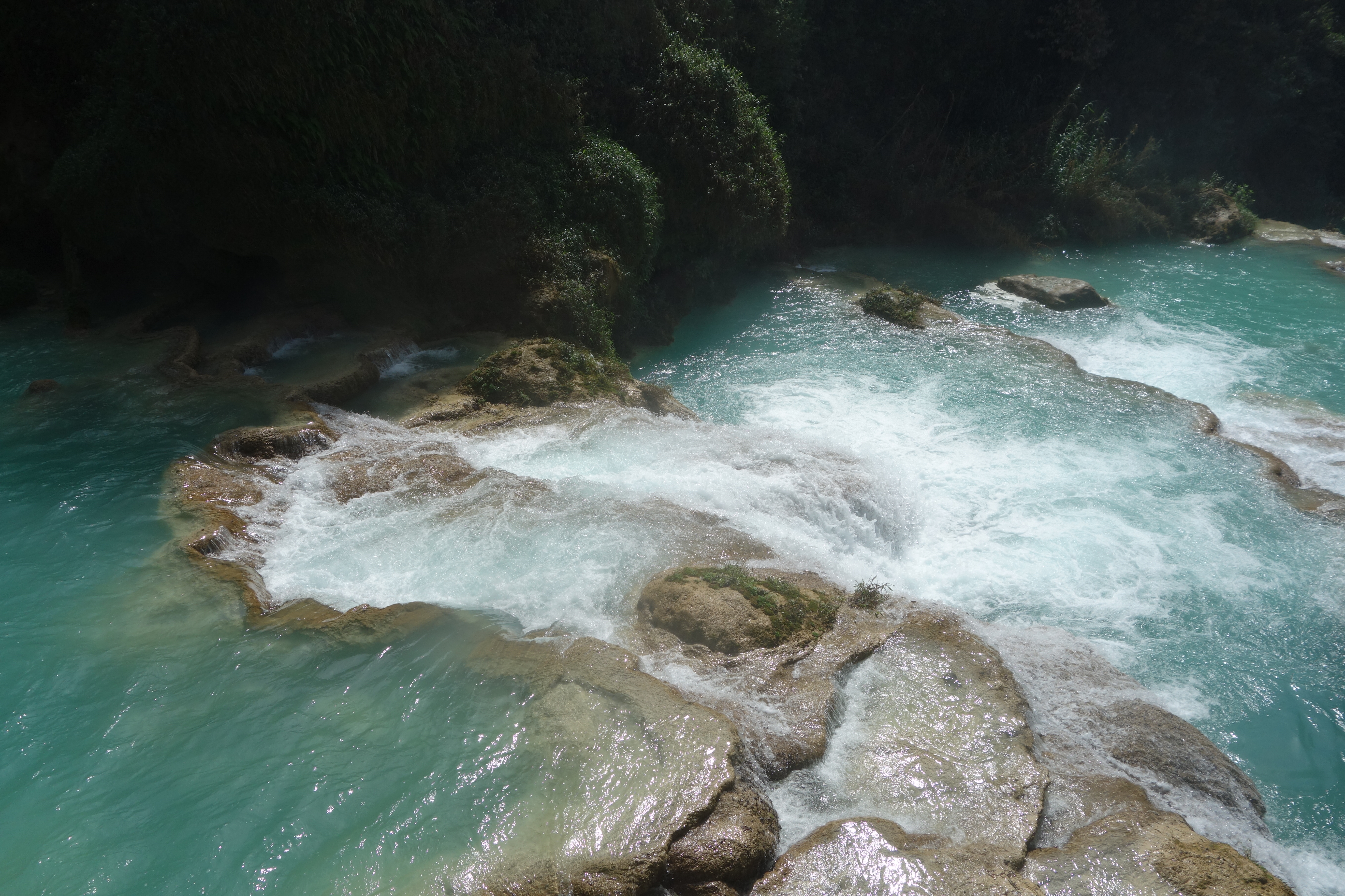
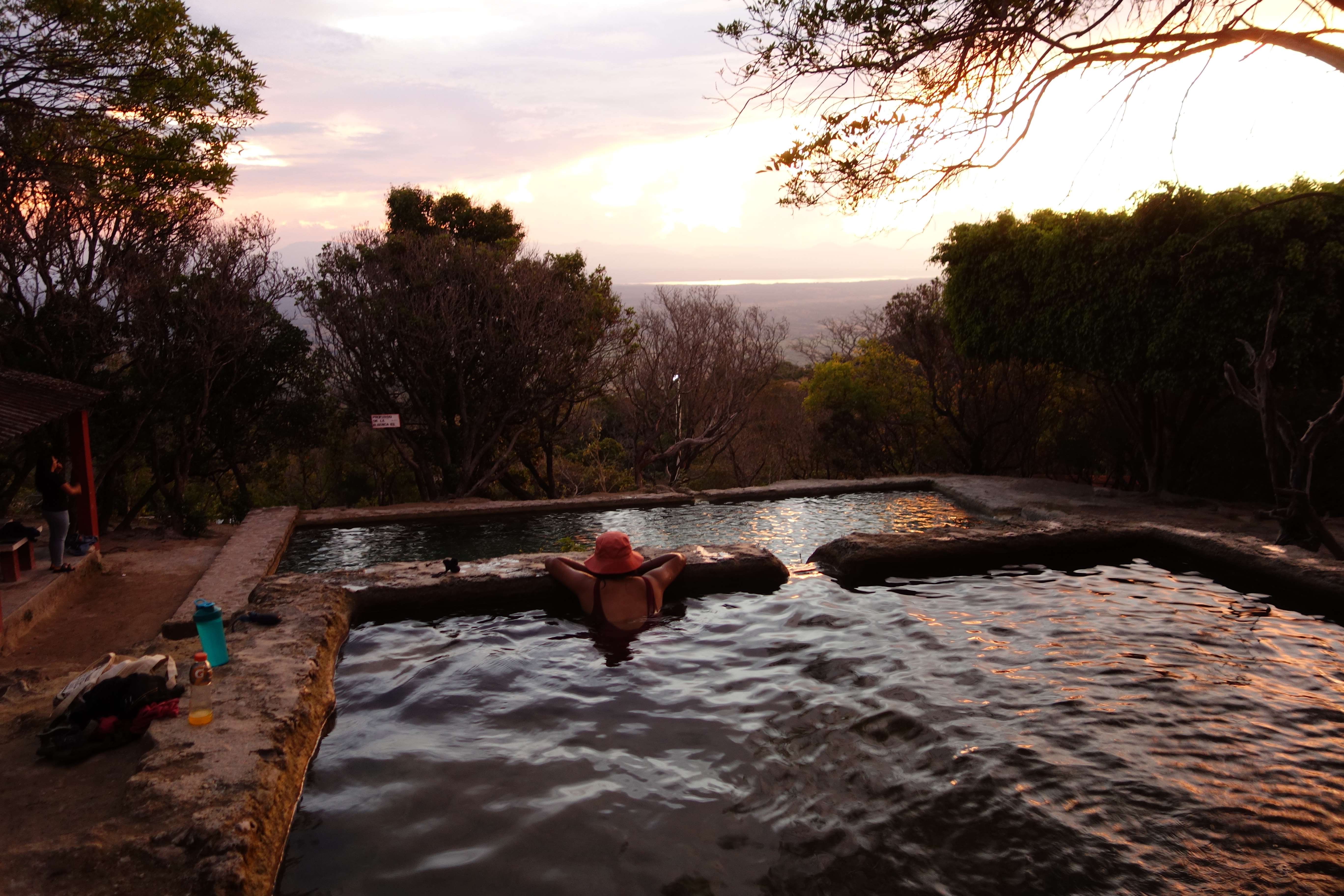
That evening we traveled to the small town of Uninajab, which sits on the western edge of the Sierra Madre de Chiapas range. After having been surrounded by mountains for nearly two weeks, it was pretty stunning to see the steep drop to the coastal plain. Because the town resides on the edge of the mountains, it receives both a fair amount of rainfall and plenty of runoff running through the region. With this climate to prop it up, the puebla constructed one of the coolest swimming pools that we have ever seen; a collection of pipes diverts the mountain runoff into a series of descending pools of varying sizes. With at least seven in total, we were able to settle into our own and enjoy some reading while we were slowly treated to a gorgeous sunset over the plains.
Of course, with an abundance of water, other problems arise. While we were enjoying ourselves in the southern part of the state, we heard that northern Chiapas had experienced some minor flooding. And flooding in the mountains means landslides; from what I can tell (based on a lack of news reports), no lives were lost in this episode but many roads in the region were temporarily closed. Locals are more than used to inconveniences such as these, but only months before a much more serious disaster struck when Tropical Storm Mario inundated the region with water. Subsequent flooding and landslides killed over 100 folks (Accuweather, 2025), a catastrophe with uncomfortable parallels to Helene’s effect in NC. As climate change increases the strength of these storms (NC DNA Day Blog, 2025), this region will come under increased threat, with little in the way of infrastructure or warning systems prepared to handle these hazards.
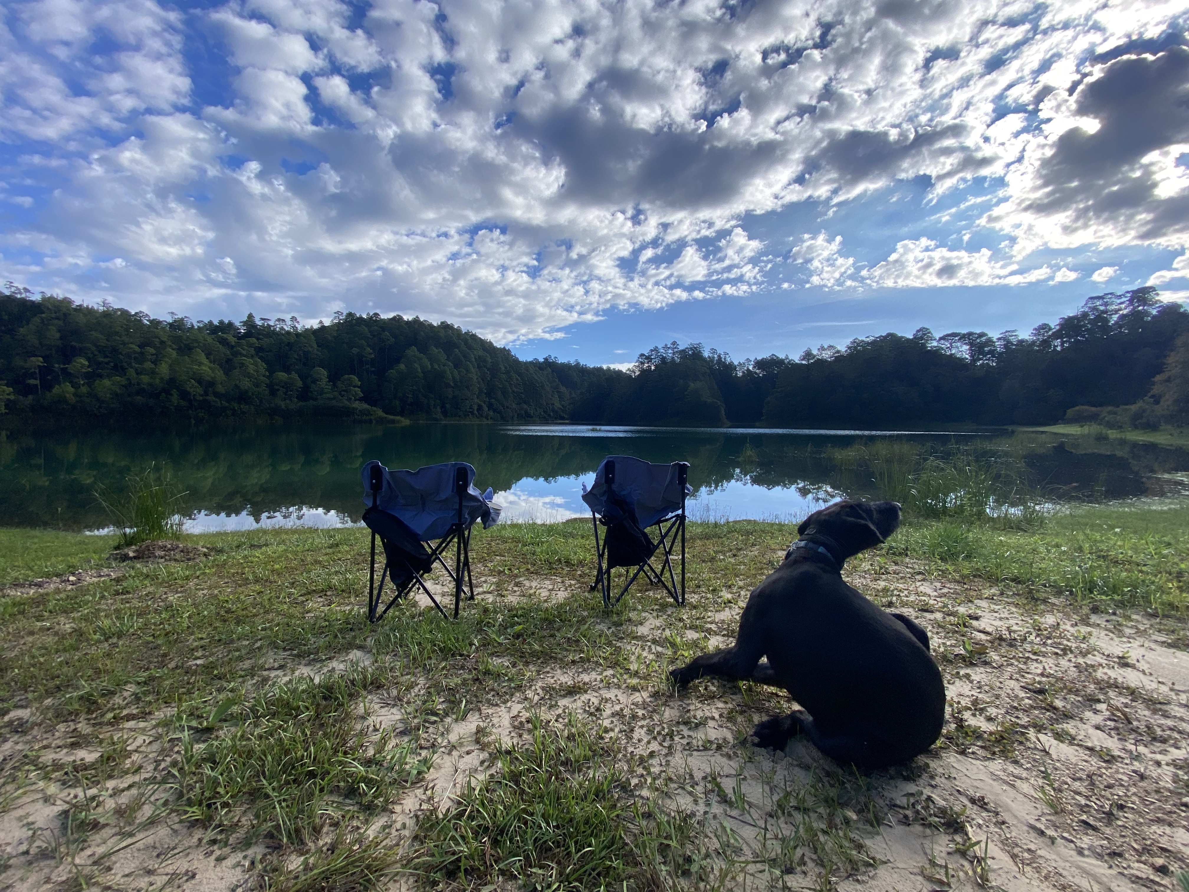
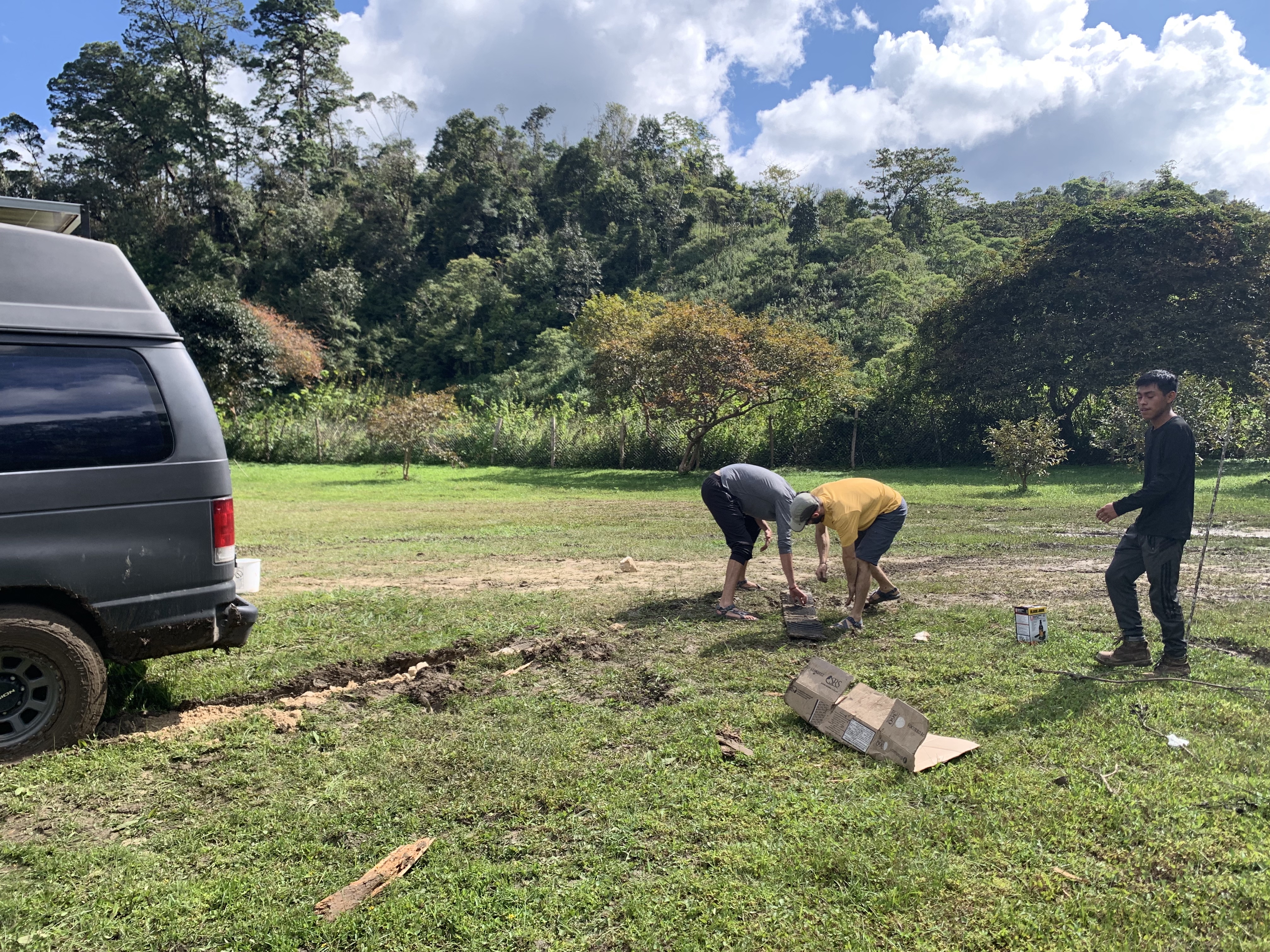
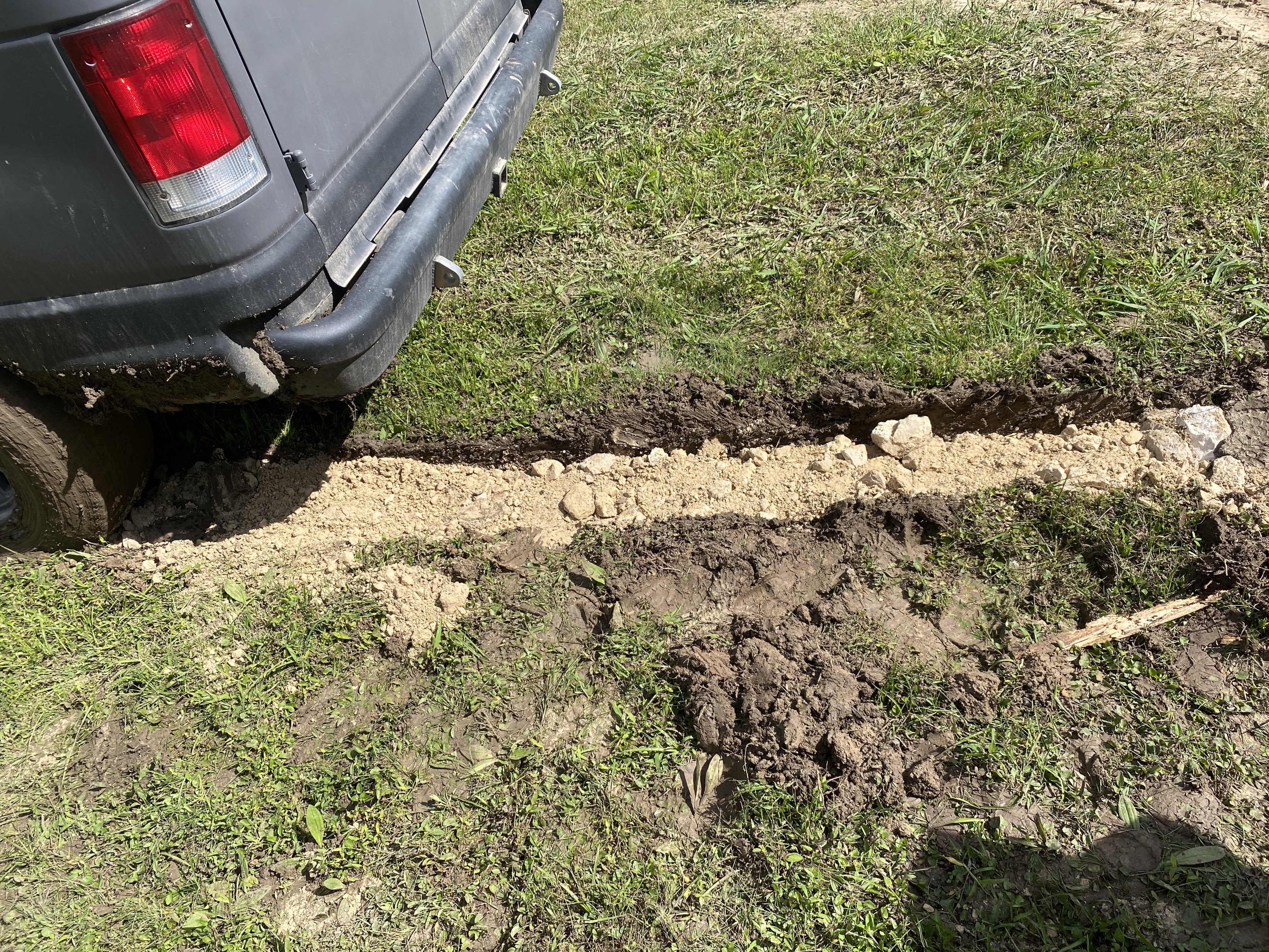
Much less seriously - but closer to home - extra water inundates the ground and can make traveling in a heavy van difficult! Such was our predicament as we arrived at Lagos de Montebello, a national park on the Mexico-Guatemala border. With several open fields for camping along the lake, we drove into one hoping to find a level spot to set up for a couple of days. We had only made it about twenty feet before a parking spot was the last thing on our mind, with half our own car sinking into the mud and only digging itself deeper as we attempted to drive out… To get out of our predicament, we turned to two things we’ve learned to trust: the kindness of strangers and science! Just down the road, a Canadian camper-van couple was willing to move their car so that we could utilize their traction boards - which they had been utilizing to level their setup - and shovel and G even came over to our space to help us out. A first attempt got us nowhere (okay, it may have gotten us deeper), so on to granular science! By this point, locals had spotted the silly tourists and a couple of them came over to help us out; together, the five of us engaged in some amateur road-building, utilizing a nearby pile of rocks to layer our base before filling the area with gravel and finally packing sand to complete the task. After several attempts, much pushing, and a lot of flung mud everywhere, we were finally able to back the van out to cheers! To get us to another field, G and C invited us over to their lakeside space, where we promptly got stuck again… Thankfully we had learned lessons from earlier in the day - perhaps most importantly to immediately stop at the first sign of trouble - and we were able to more quickly escape this jam, although only with further help from our new friends. At this point, we felt it safest to just park on the road above. Lessons learned, and friends made along the way.
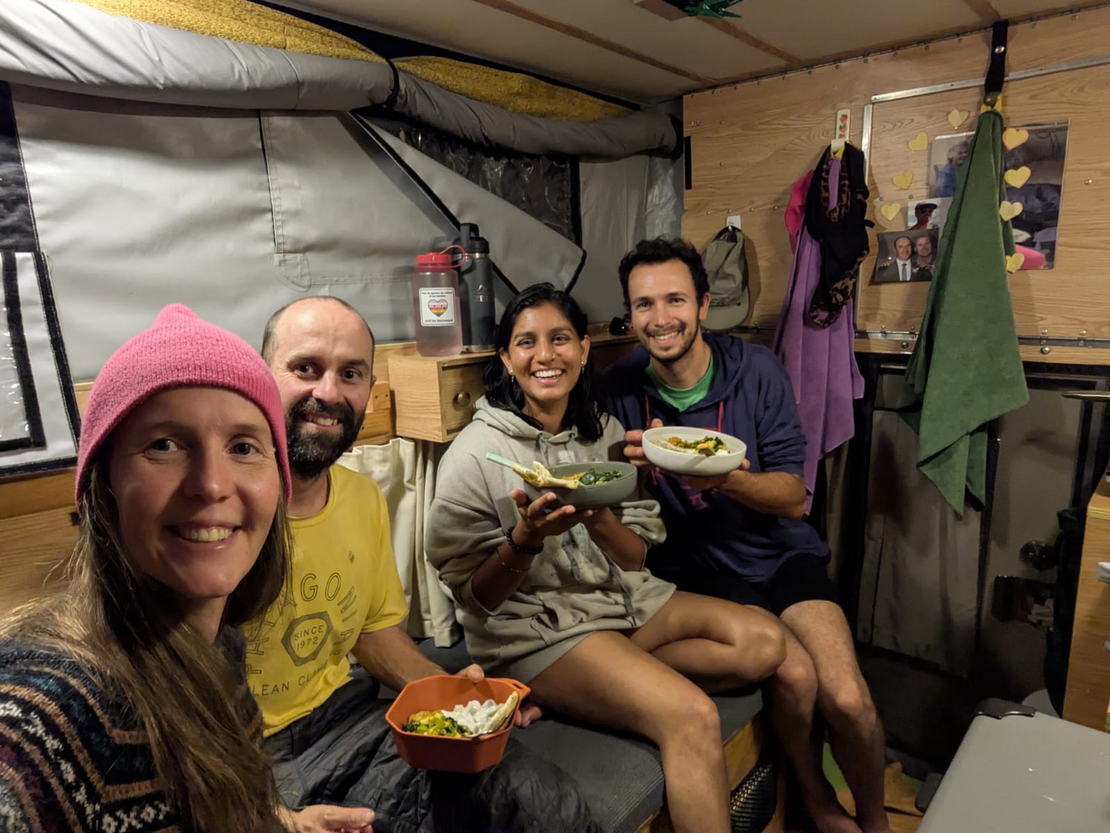
Coincidentally, G told us they had been planning to make aloo parathas that night. After cleaning up and resting from our accidentally eventful day, we cooked some palak paneer, a simple dal curry, and raita to join our new friends for an evening of great food and even better company as we traded stories from our lives and the road. The rest of our time at the lake was, gratefully, much less eventful, as we largely relaxed by the water and Clark and Arya wandered around some trails to view some of the other lakes (Vrinda was nursing a sprained ankle suffered due to muddy conditions at Uninajab, another water hazard). After several days of much-needed rest, we were ready to hit the road again and tackle our next challenge: crossing into Guatemala!