One of the most frequent questions from anyone who heard about plans for our trip over the past year, from friends and family to acquaintances and even strangers was some version of “What are you most looking forward to?” While the truthful answer was really “all of it,” when pressed, we had a couple of places that we frequently highlighted. One of Vrinda’s most common responses: “Volcanoes in Guatemala!!” Within a week of arriving in the country, we are only three states in and have already hiked three volcanoes and driven past many more.
Once on a call with my sister, she asked where the mountains are in Guatemala and I smarmily replied “All of it.” This is only a third true, although for most of our travels in the country we won’t leave the cool climes and picturesque views of las montañas, even if it does triple the time it takes to drive anywhere. Truthfully, Guatemala can be divided into three pretty distinct ecosystems, with warm coastal plains along the Pacific coast, the southern end of the Sierra Madre mountain range running northwest to southeast along the center of the country, and the Mayan jungle to the northeast. The country and its volcanoes are part of the Pacific Ring of Fire so that, despite its smaller size, it ranks among the top-20 in the world for the number of both total and active volcanoes (Global Volcanism Program, Smithsonian Institute). More specifically, Guatemala sits at the intersection of three tectonic plates: the Cocos (Pacific side), Caribbean, and North American plates. As these slide past each other, the grinding turmoil results in immense amounts of activity in the forms of earthquakes and volcanoes (Agate et al., JoM, 2024). To start our volcanic journey in the country, we climbed one that is still erupting!


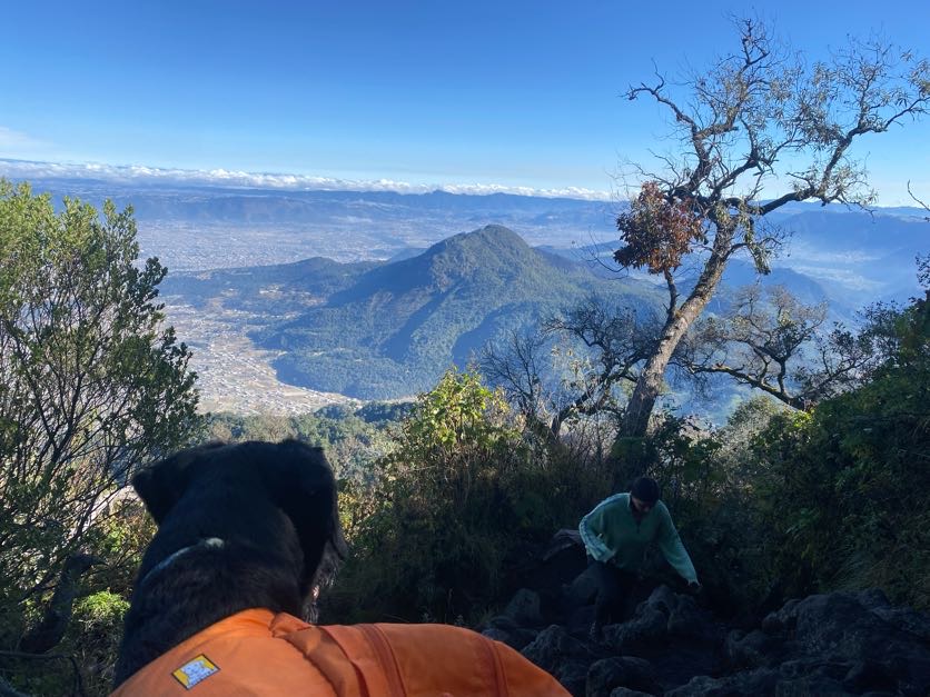
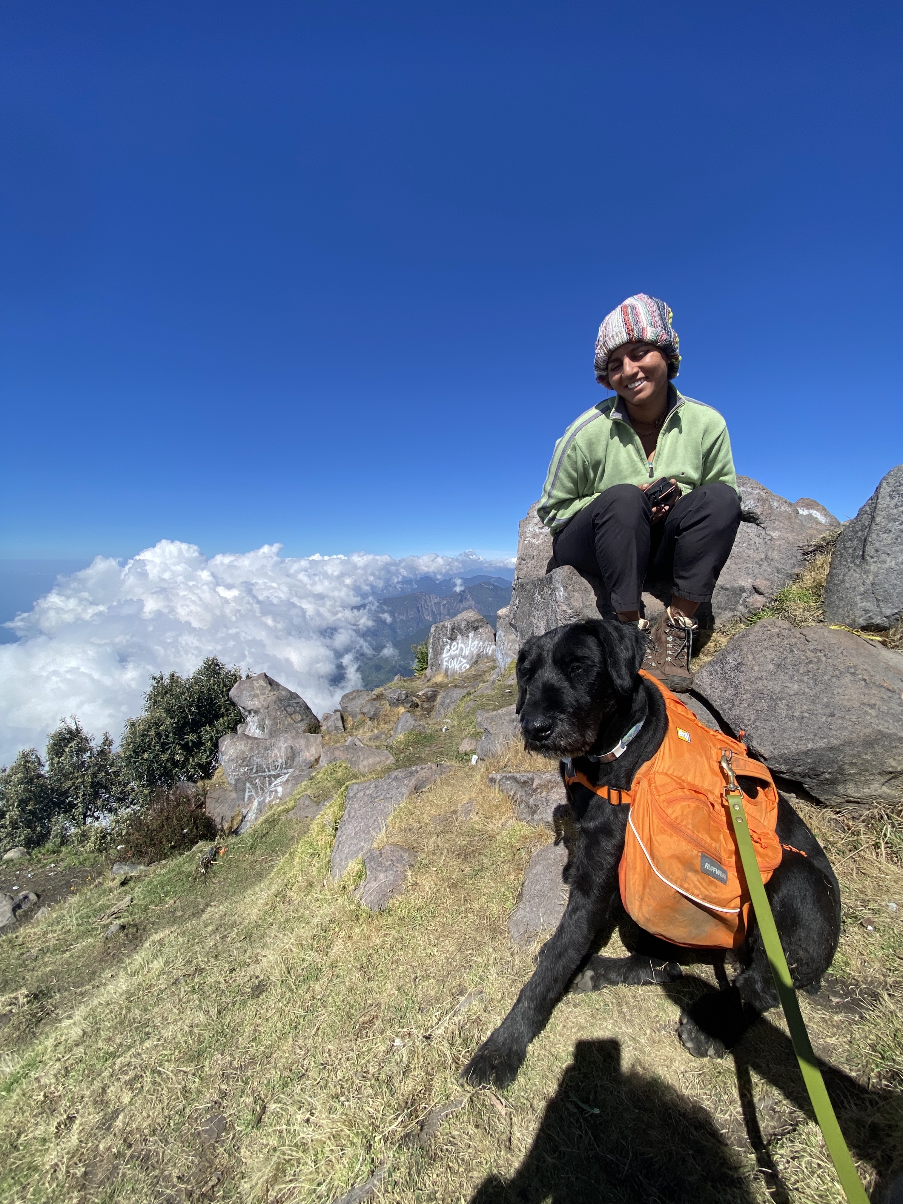
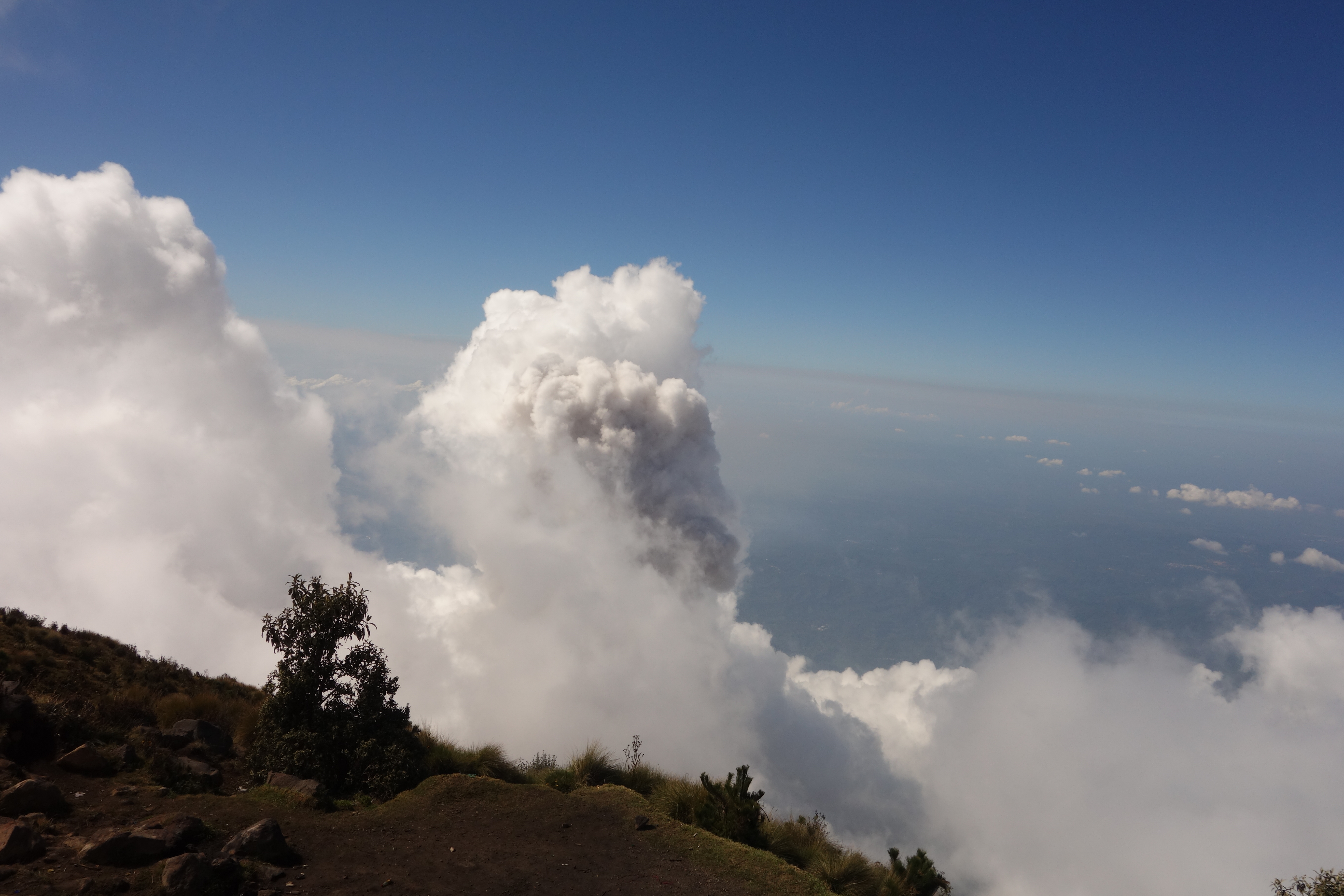
Volcán Santa María looms over the town of Xela/Quetzaltenango; clocking in at 12.4K ft, this makes it the 4th or 5th highest peak in Guatemala (the highest being Tajumulco, which we completed four days later, and the uncertainty depending on how you want to count Tocaná on the Mexico-Guatemala border). Dormant since at least the time of the Spanish conquest and probably for much longer, the volcano put itself on the world map in 1902 when it suddenly awoke in one of the largest explosions of the past several hundred years (Wikipedia, 2026). Ever since, the volcano has seen steady activity, with a 1922 eruption creating a new vent leading to a mini-mountain below Santa Maria’s peak, aptly named Santiaguito. These days Santiaguito erupts with some regularity, while hikers like us get to admire it from Maria’s summit. To admire it, of course, we had to complete the hike first, which was no easy task. With over 4,000 feet of elevation gain in a little over 2.6 miles, this was easily the longest hike at that grade that V and I (and Arya!) have completed. To make matters worse, there is no respite, as the trail continues at the same steady gain, perhaps only getting slightly steeper just when you think you’ve had enough. Nonetheless, after four hours and a fair amount of cursing, we made it to the top just in time for clouds to start rolling in and obstructing some of our view of the eruptions. Despite this, we enjoyed the views and saw (and heard and felt!) several of the eruptions from Santiaguito below, a well-earned reward for our efforts.
For the most part, Guatemala’s volcanoes are either largely dormant or have smaller, more regular eruptions like Santiaguito. This can be a double-edged sword. On one hand, locals are generally safer than near less reliable and more explosive volcanoes (see Santa Maria in 1902) and active volcanoes bring in the most tourism (us!) and money. On the other, when disaster does strike, more folks are at risk. This has been true for as long as there have been people: the first Spanish capital of Central America in the 1520’s only lasted a couple of years before an eruption disrupted the lake at the top of it and flooded the area. The conquistadores were forced to move their city several miles away from ”ciudad vieja” (literally, the ”Old City”) and “Agua volcán” to what is now Antigua. (Confusingly, “Antigua” also means old/ancient since the Spanish moved again in 1773 when an earthquake devastated the area. Nonetheless, the names have stuck.) More recently, the country experienced a major disaster when the normally reliable Fuego experienced a massive eruption in 2018 (BBC, 2018), as the resulting pyroclastic flow killed nearly 200. (Writer’s note: I am writing this while staying in a town under Fuego’s shadow for a week. Not a good time to do research on the disaster!)
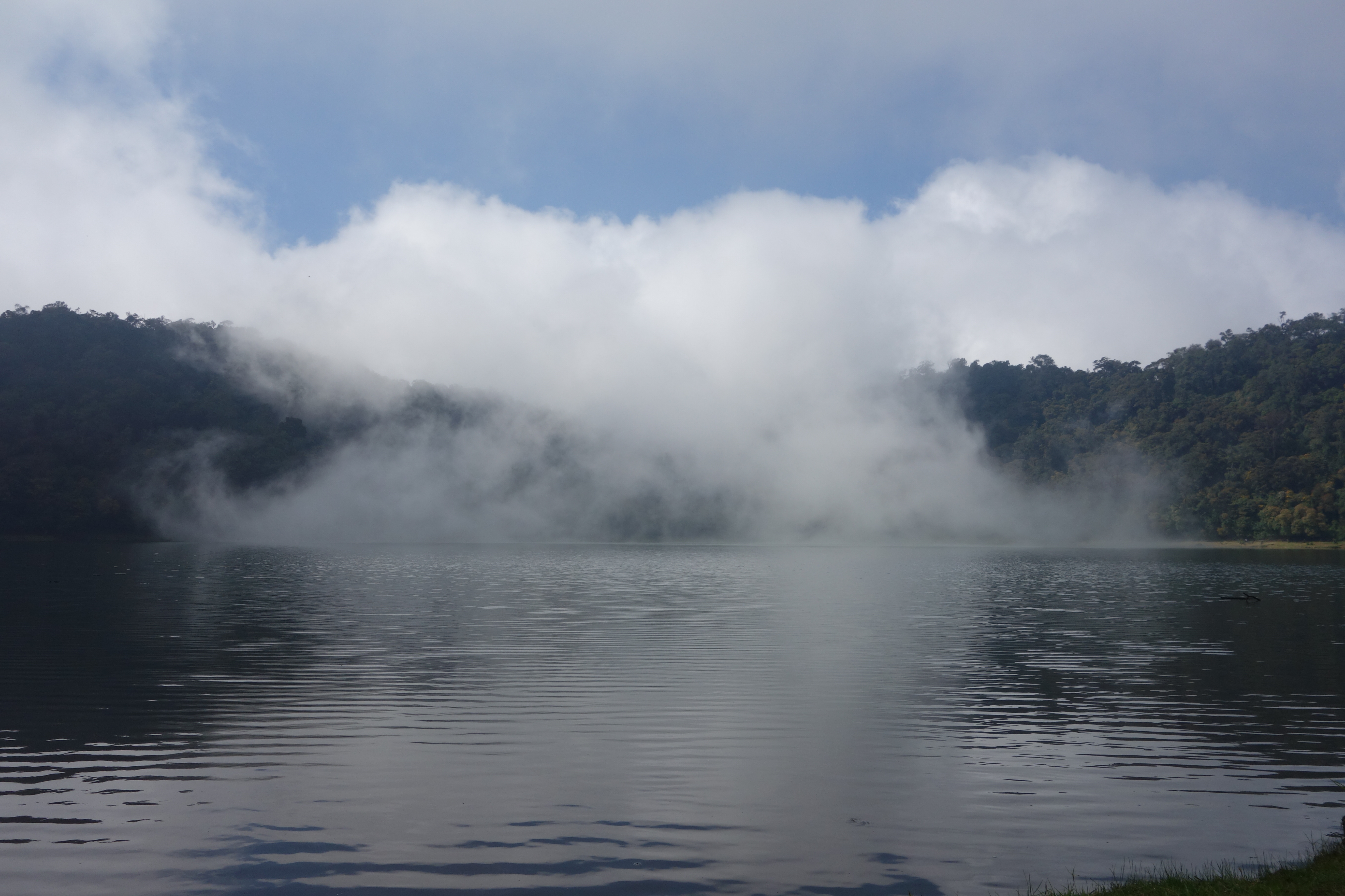
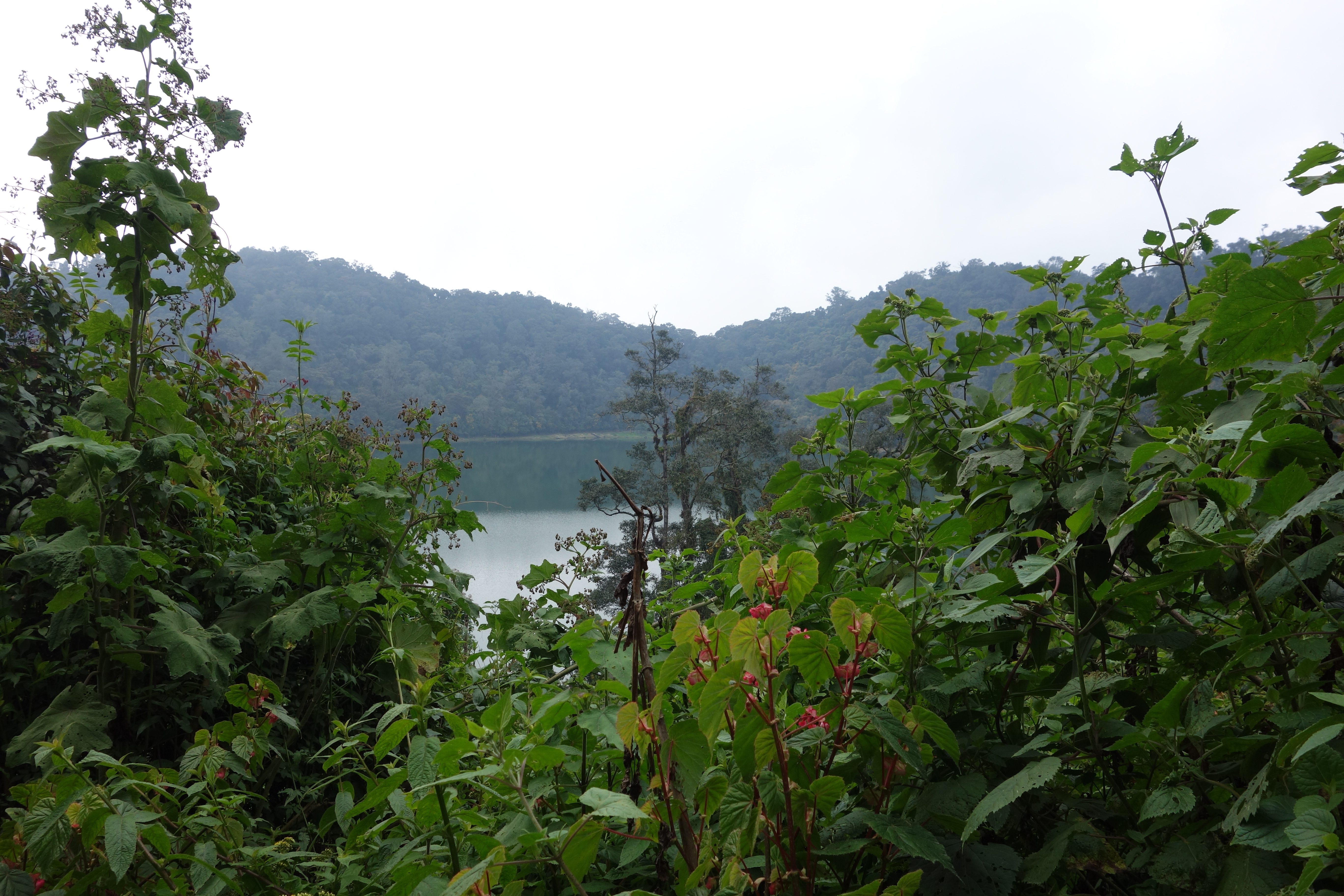
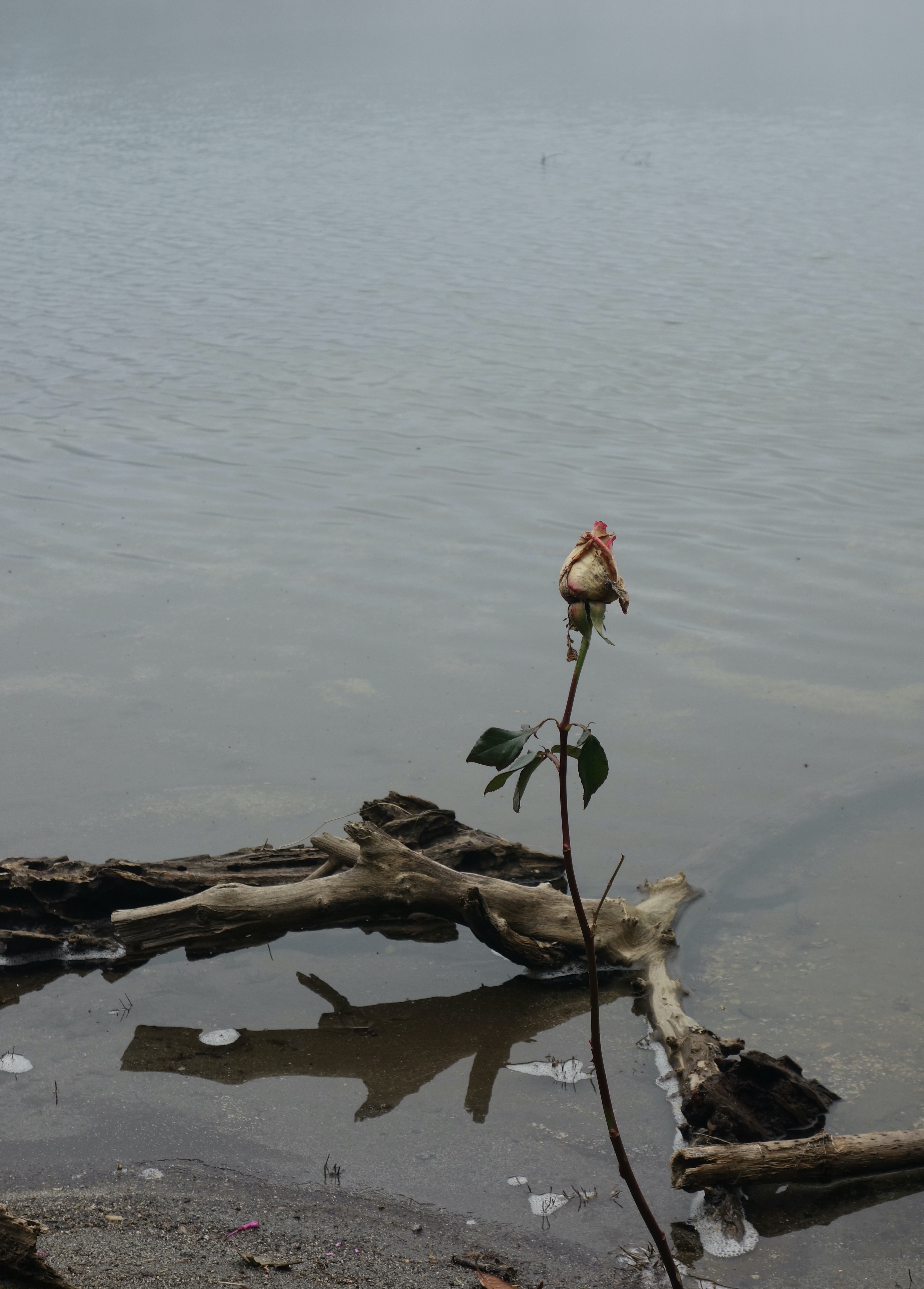
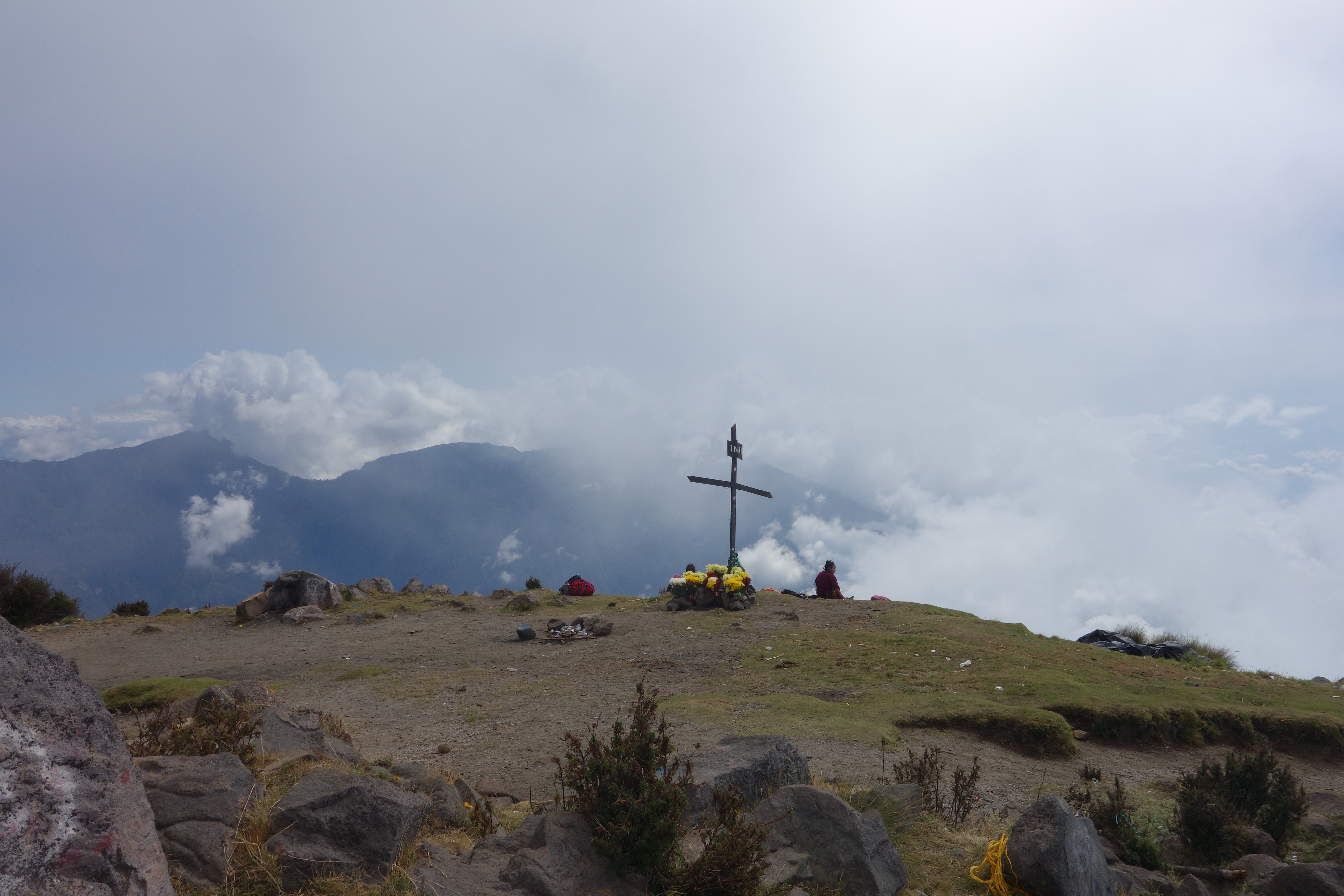
Despite the danger - and perhaps because of it - volcanoes have been revered as holy locations since long before the Spanish arrived. At every one that we have climbed so far, we have seen folks praying in Spanish and indigenous languages: to Jesus, to (the Christian) God, to volcanic deities, to indigenous ones, and to any combination that they see fit. This was especially true at Volcán Chicabal, a “smaller” mountain (the peak is only 9.5K feet) located near Xela with a moderately sized lake sitting inside the crater at the top. This lake has been sacred to humans for as long as there have been any. Indeed, after a short but steep hike up to the crater rim and then a shorter but even steeper one down to the lake, we saw many people who had made the trek with flowers, candles, markers, alcohol (and one Coke), and more as they paid their respects and practiced their spirituality. As with many mountain hikes - especially those in this region - it was easy to revere the place. Having arrived in early afternoon, we were treated to alternating sun and clouds, with the latter spilling over the crater rim and tumbling down to the lake and around the basin. Just when it felt like you soon wouldn’t be able to see the person next to you, the density of the fog would lift, and soon it would be sunny and clear again. After resting from the hike and enjoying this phenomenon a couple of times over, we walked around the water chatting and admiring the designated religious sites, written with indigenous language and symbols to mark spots where folks had been connecting themselves to the earth, the heavens, and each other for time immemorial.